UD-ANCIENT-0007
YONAGUNI MONUMENT
- Location
- Japan
- Date
- 1986
- Case type
- Lost Civilizations
- File status
- Open
TWO-MINUTE SUMMARY
Natural formation, modified site or disputed underwater archaeology?
KEY FACTS
- country
- Japan
- type
- Underwater Anomaly / Disputed Archaeological Site / Geological Formation
- year
- 1986
WHAT THE RECORD ACTUALLY SAYS
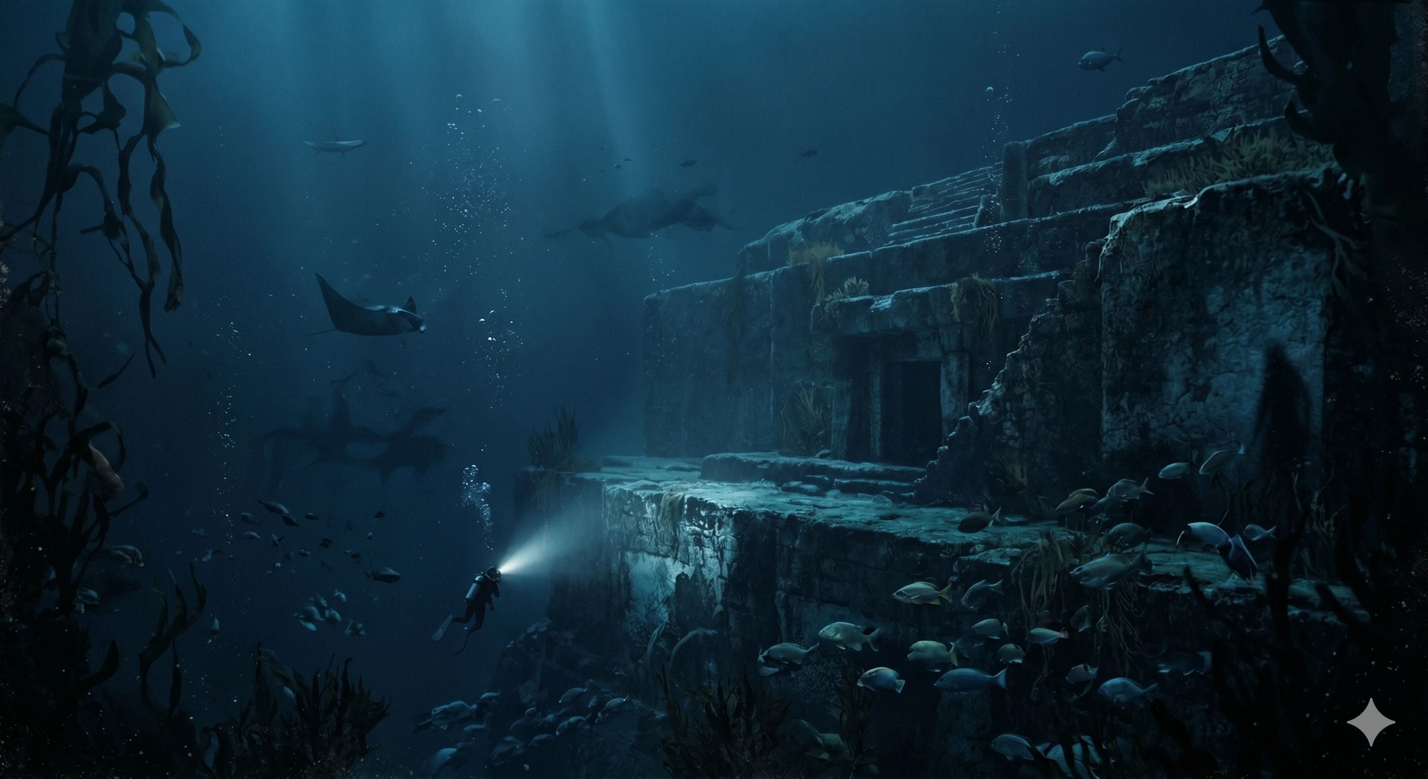
Off the coast of Yonaguni Island, divers encountered a large sandstone formation with terraces, planes and jointed faces that can appear architectural. Geological explanations emphasize bedding planes, joint sets, seismic fracturing and erosion; comparable formations occur on Yonaguni’s coastline. A minority interpretation argues for human modification, but the formation is not recognized by Japanese cultural authorities as a cultural artefact. The record distinguishes the physical formation from competing interpretations of its origin.
TIMELINE
~20 million years ago (Early Miocene)
Sandstones and mudstones of the Yaeyama Group are deposited in the region that will become Yonaguni Island and its surrounding seabed.
~20,000 years ago (Last Glacial Maximum)
Sea level is ~120–130 m lower than present. The area of the Yonaguni Monument is dry land—a coastal or elevated terrain feature.
~14,000–300 BC
The Jōmon culture occupies the Japanese archipelago. They develop the world’s earliest known pottery but have no documented megalithic construction tradition. If the Yonaguni Monument is artificial, the Jōmon are the most likely builders.
~10,000–8,000 years ago
Post-glacial sea level rise submerges the formation. If artificial, this is the latest date by which construction could have occurred.
~3,000–2,000 years ago
Sea level stabilizes near modern levels. The formation is fully submerged at its current depth of 5–40 m.
Pre-1986
Yonaguni Island carries its own folklore: legends of giant serpents, ancient deities, and vanished kingdoms. The island is Japan’s westernmost inhabited land, once considered the border of the known world.
1986
Kihachiro Aratake discovers the formation while diving for hammerhead sharks. He contacts scientists at the University of the Ryukyus. The promontory above the site is unofficially renamed Iseki Hanto (“Ruins Point”).
1986–1990s
Masaaki Kimura begins systematic diving, measuring, and mapping. He initially considers the formation might be natural, but changes his mind after his first dive. He identifies quarry marks, carved characters, and animal likenesses.
1997
Major survey expedition. Kimura presents findings at scientific conferences, arguing for artificial origin. He dates the site to ~5,000–10,000 years ago and connects it to the mythical continent of Mu.
1999
German geologist Wolf Wichmann studies the formation during a Spiegel TV expedition. Concludes it is natural.
2001
Wichmann returns by invitation of Graham Hancock. Reaffirms natural-origin conclusion.
2003
Robert Schoch publishes analysis: the formation is natural sandstone fracturing along bedding planes and joint sets. John Anthony West visits and agrees.
2019
Takayuki Ogata et al. publish topographical analysis comparing the submarine formation to above-sea-level formations on Yonaguni Island. Conclusion: the monument is natural, formed by weathering and erosion acting on bedding and linear joints in sandstone. Similar features confirmed at Sanninudai geosite on the south coast.
Present
The site remains a popular diving destination. The debate continues. No government recognition or protection.
SELECTED EVIDENCE
The sandstone formation and its terraced, jointed faces are directly observable. Geological explanations cite bedding planes, perpendicular joints, seismic activity and erosion, including comparable formations on the island. No official cultural designation or excavated material currently establishes the feature as a wholly human-made monument.
WHAT REMAINS UNCERTAIN
The formation’s apparent geometry can invite architectural interpretation, but visual resemblance is not equivalent to demonstrated construction. The record keeps the observed geology separate from claims of a lost settlement or an ancient monument.
SELECTED SOURCES
Selected source notes are being prepared. The public record will be expanded as material is reviewed.